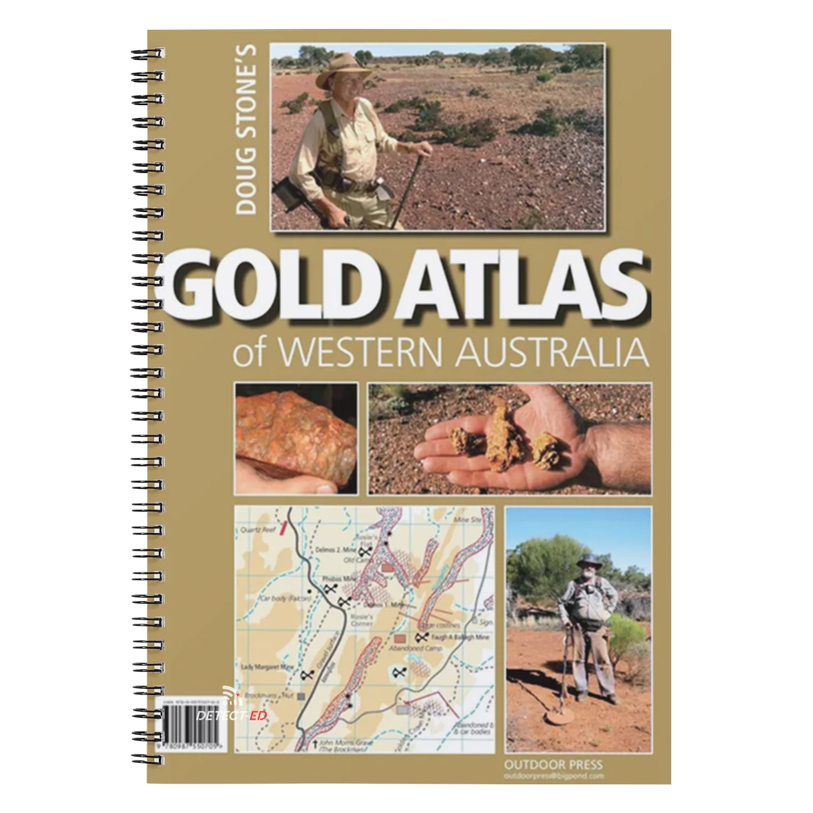
ATLAS: WA GOLD (80 Gold Maps)
Doug Stone’s Gold Atlas of New South Wales
-
Complete WA Gold Maps Collection – over 80 detailed maps, providing exceptional value
-
Spiral Binding for effortless handling in a vehicle or on foot
-
Large Format (41 cm × 27.5 cm) – roughly A3 size for clear, easy reading
-
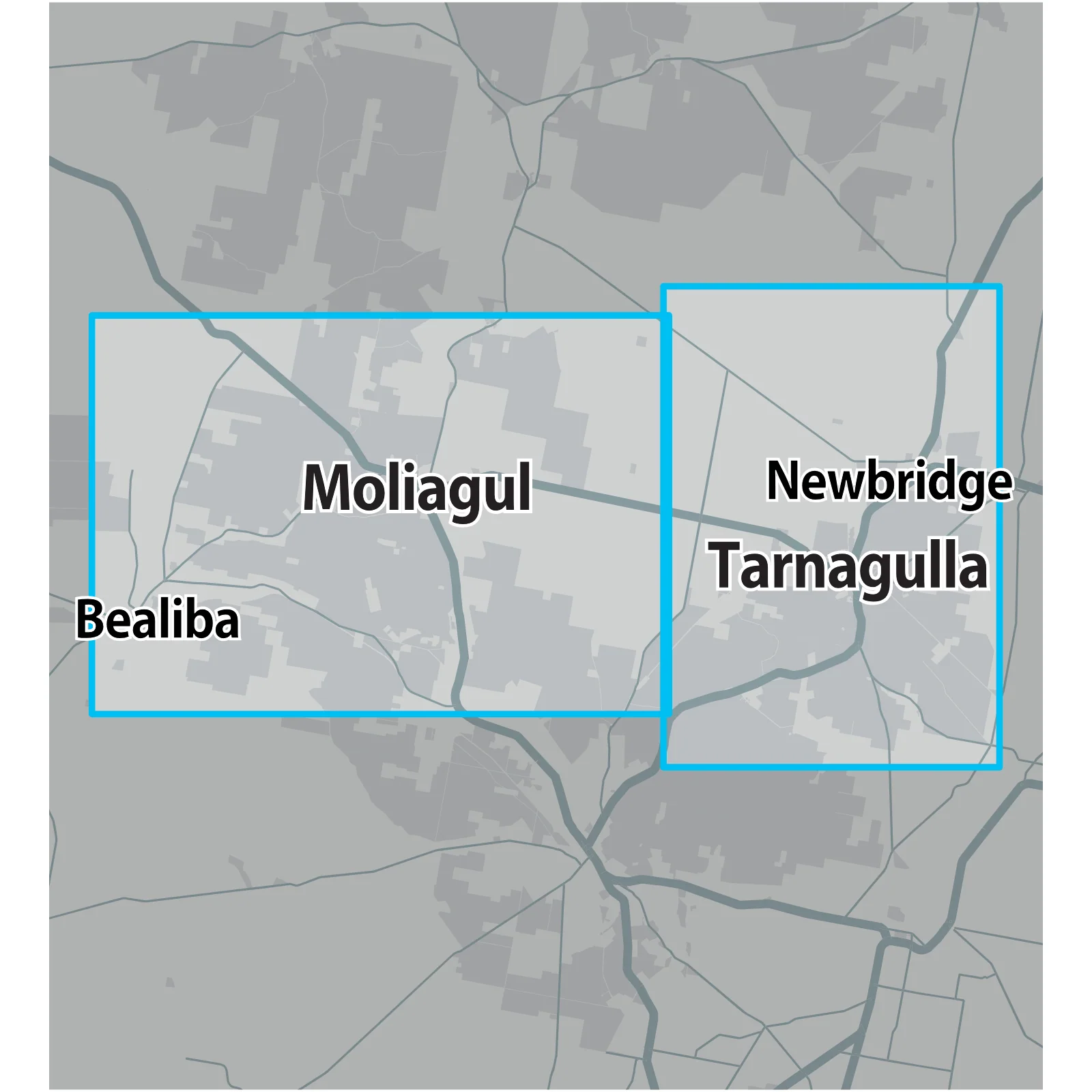
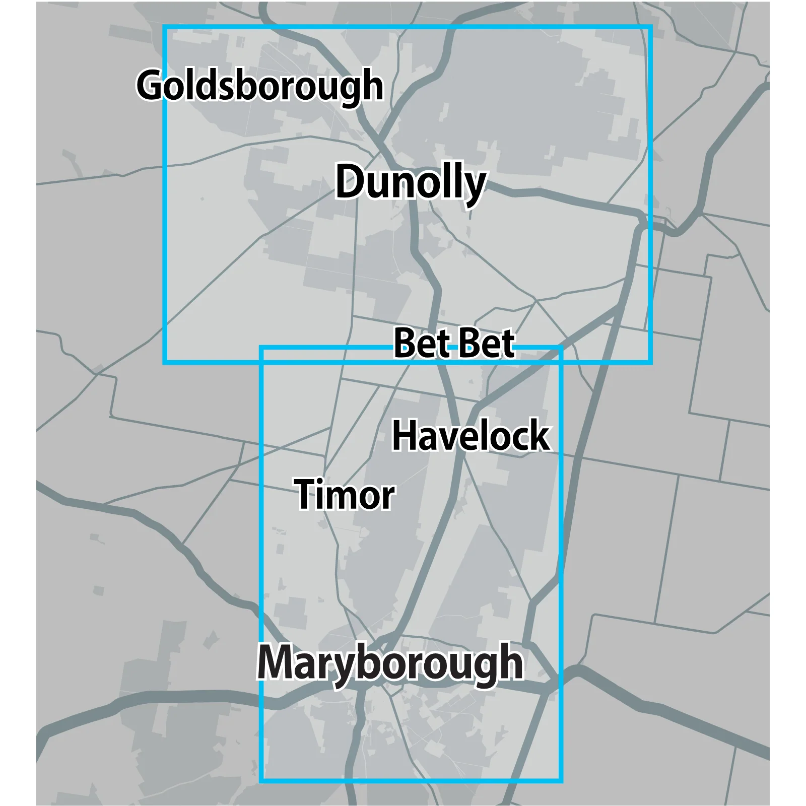
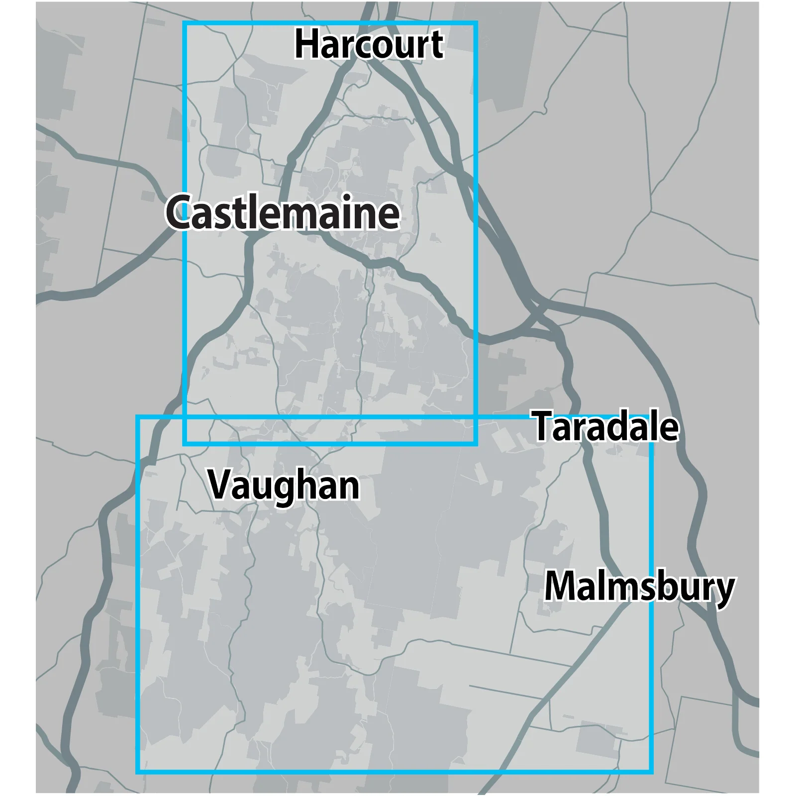
Extensive Coverage from Halls Creek in the Kimberley, south through Marble Bar, Nullagine, Meekatharra, Leonora and Menzies, through Kalgoorlie to Norseman
-
High-Quality Full-Colour Printing on durable paper stock
-
Accurate Gold & Relic Mapping spatially aligned to public lands and state forests where fossicking is permitted
-
Work in Progress – future editions will add even more maps as Doug Stone continues his life’s work
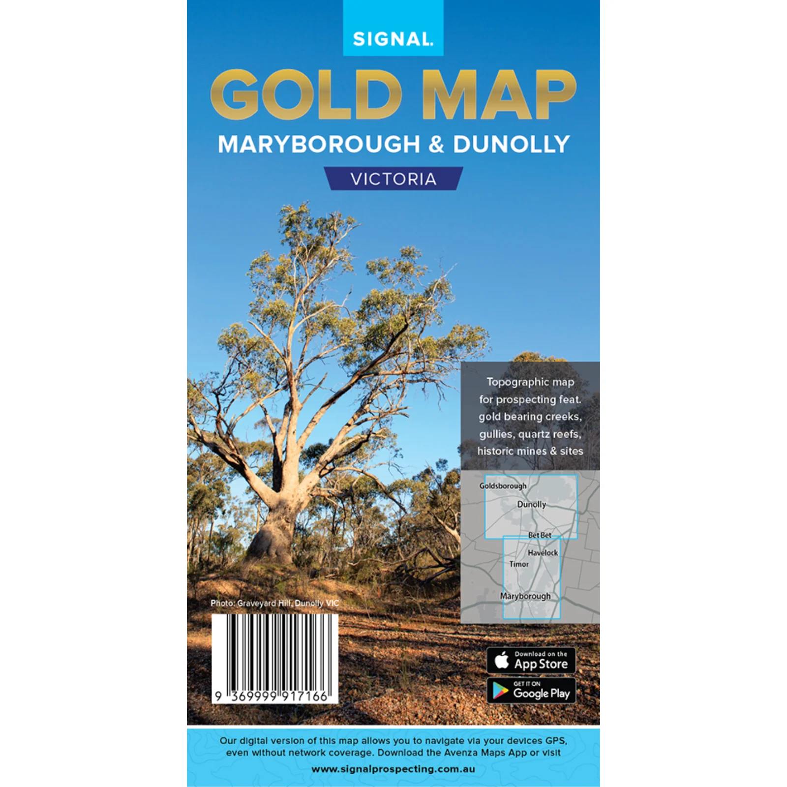
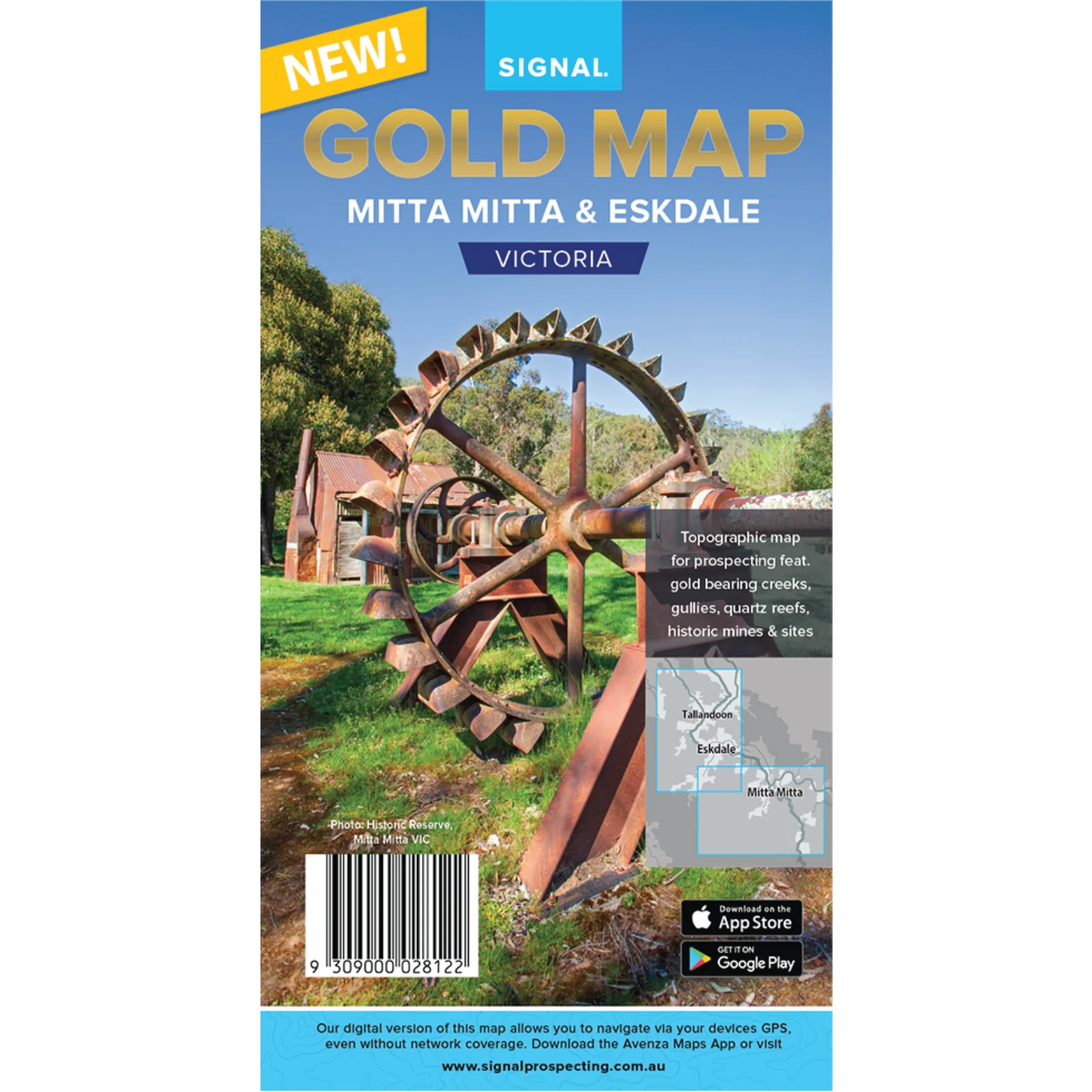
Discover the gold-rich heart of Western Australia with Doug Stone’s Gold Atlas of Western Australia. Building on decades of mud-map prospecting since the late 1970s, this atlas is the first comprehensive, spatially correct mapping of one of the world’s largest and richest gold provinces. Whether you’re planning a Kimberley adventure or chasing nuggets around Kalgoorlie, you’ll have every key goldfield at your fingertips. Printed in vivid full colour and spiral bound for field-ready convenience, it’s the essential guide for both seasoned prospectors and newcomers. Grab your copy now at Detect-Ed Australia and start exploring WA’s untold gold potential!
Product Information
Product Information
Shipping & Returns
Shipping & Returns

ATLAS: WA GOLD (80 Gold Maps)
ATLAS: WA GOLD (80 Gold Maps)
Doug Stone’s Gold Atlas of New South Wales
-
Complete WA Gold Maps Collection – over 80 detailed maps, providing exceptional value
-
Spiral Binding for effortless handling in a vehicle or on foot
-
Large Format (41 cm × 27.5 cm) – roughly A3 size for clear, easy reading
-
Extensive Coverage from Halls Creek in the Kimberley, south through Marble Bar, Nullagine, Meekatharra, Leonora and Menzies, through Kalgoorlie to Norseman
-
High-Quality Full-Colour Printing on durable paper stock
-
Accurate Gold & Relic Mapping spatially aligned to public lands and state forests where fossicking is permitted
-
Work in Progress – future editions will add even more maps as Doug Stone continues his life’s work
Discover the gold-rich heart of Western Australia with Doug Stone’s Gold Atlas of Western Australia. Building on decades of mud-map prospecting since the late 1970s, this atlas is the first comprehensive, spatially correct mapping of one of the world’s largest and richest gold provinces. Whether you’re planning a Kimberley adventure or chasing nuggets around Kalgoorlie, you’ll have every key goldfield at your fingertips. Printed in vivid full colour and spiral bound for field-ready convenience, it’s the essential guide for both seasoned prospectors and newcomers. Grab your copy now at Detect-Ed Australia and start exploring WA’s untold gold potential!
Product Information
Product Information
Shipping & Returns
Shipping & Returns
Description
Doug Stone’s Gold Atlas of New South Wales
-
Complete WA Gold Maps Collection – over 80 detailed maps, providing exceptional value
-
Spiral Binding for effortless handling in a vehicle or on foot
-
Large Format (41 cm × 27.5 cm) – roughly A3 size for clear, easy reading
-
Extensive Coverage from Halls Creek in the Kimberley, south through Marble Bar, Nullagine, Meekatharra, Leonora and Menzies, through Kalgoorlie to Norseman
-
High-Quality Full-Colour Printing on durable paper stock
-
Accurate Gold & Relic Mapping spatially aligned to public lands and state forests where fossicking is permitted
-
Work in Progress – future editions will add even more maps as Doug Stone continues his life’s work
Discover the gold-rich heart of Western Australia with Doug Stone’s Gold Atlas of Western Australia. Building on decades of mud-map prospecting since the late 1970s, this atlas is the first comprehensive, spatially correct mapping of one of the world’s largest and richest gold provinces. Whether you’re planning a Kimberley adventure or chasing nuggets around Kalgoorlie, you’ll have every key goldfield at your fingertips. Printed in vivid full colour and spiral bound for field-ready convenience, it’s the essential guide for both seasoned prospectors and newcomers. Grab your copy now at Detect-Ed Australia and start exploring WA’s untold gold potential!